


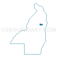
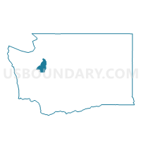
Water: Port Madison, Kitsap County, Washington
About
Outline

Summary
| Unique Area Identifier | 687224 |
| Name | Water: Port Madison |
| County | Kitsap County |
| State | Washington |
| Area (square miles) | 2.13 |
| Land Area (square miles) | 0.00 |
| Water Area (square miles) | 2.13 |
| % of Land Area | 0.00 |
| % of Water Area | 100.00 |
| Latitude of the Internal Point | 47.73395140 |
| Longtitude of the Internal Point | -122.52395730 |
Maps

Graphs
Select a template below for downloading or customizing gragh for Water: Port Madison, Kitsap County, Washington


Neighbors
Neighoring Voting District (by Name) Neighboring Voting District on the Map
- Augusta Voting District, Kitsap County, WA
- Indianola Voting District, Kitsap County, WA
- Point Jefferson Voting District, Kitsap County, WA
- Seabold Voting District, Kitsap County, WA
- Suquamish Voting District, Kitsap County, WA
- Totten Voting District, Kitsap County, WA
- Water: Bainbridge Island, Kitsap County, WA
- Water: Puget Sound Leg 23, Kitsap County, WA
Top 10 Neighboring County Subdivision (by Population) Neighboring County Subdivision on the Map
Top 10 Neighboring Place (by Population) Neighboring Place on the Map
Top 10 Neighboring Unified School District (by Population) Neighboring Unified School District on the Map
Top 10 Neighboring State Legislative District Lower Chamber (by Population) Neighboring State Legislative District Lower Chamber on the Map
Top 10 Neighboring State Legislative District Upper Chamber (by Population) Neighboring State Legislative District Upper Chamber on the Map
Top 10 Neighboring 111th Congressional District (by Population) Neighboring 111th Congressional District on the Map
Top 10 Neighboring Census Tract (by Population) Neighboring Census Tract on the Map
- Census Tract 9401, Kitsap County, WA (6,149)
- Census Tract 907, Kitsap County, WA (5,183)
- Census Tract 9400, Kitsap County, WA (3,500)
- Census Tract 9901, Kitsap County, WA (0)